
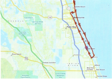
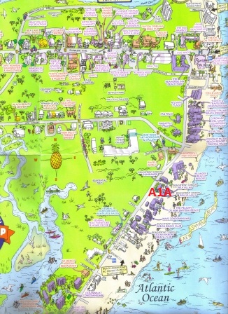
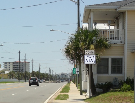
Dream 55 on my retirement page is cruise Florida's Route A1A on a motorcycle. State Road A1A is a Florida State Road that runs mostly along the Atlantic Ocean, with sections from Key West at the southern tip of Florida, to Callahan, just south of Georgia. It is the main road through most oceanfront towns. SR A1A is designated the Scenic and Historic Coastal Byway, a National Scenic Byway. It is also called the Indian River Lagoon Scenic Highway
There is a break at Merritt Island which I will use to designate north and southbound trips.
See the video published by the A1A Scenic and Historic Byway Committee.
A1A Scenic and Historic Byway Committee
 |
. |  |
|
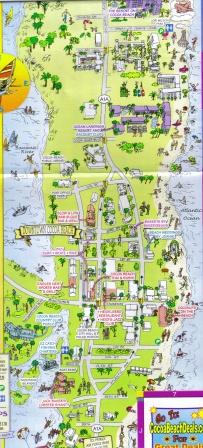
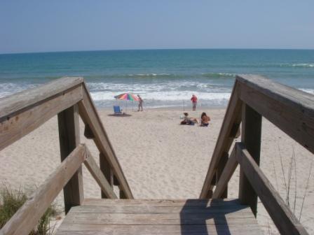
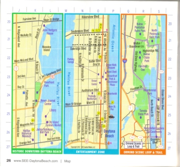
Cocoa Beach Map |
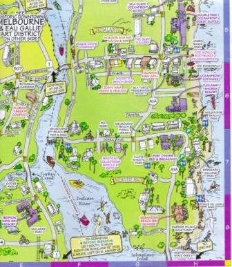
. | Melbourne Beach Map |
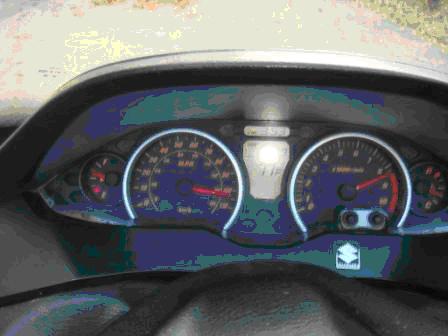
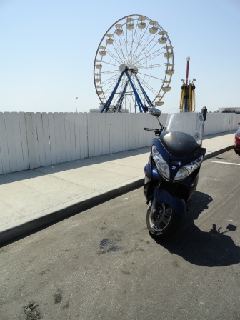
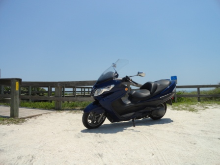
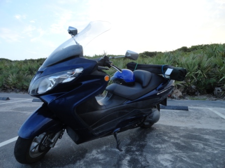
I had planned on obtaining a motorcycle as an alternate means of transportation during my retirement. Fortunately, I obtained a 2007 Suzuki Burgman 400. The Burgman has a CVT transmission and centrifugal clutch It is a very easy ride and at 65MPG and top end of 104MPH, it is an excellent retirement vehicle. At times, I would like to shift but the CVT does its job. If I were to replace it, it would be with a 650. The Burgman is actually a large displacement scooter which in Florida, requires a motorcycle license. It can easily accelerate and keep up with highway traffic. You can check the Youtube videos for other options.
 |
. |  |
 |
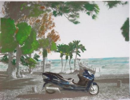
Burgman Painting |
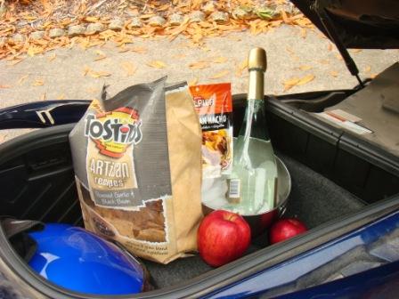
.Enough Storage for a Picnic |
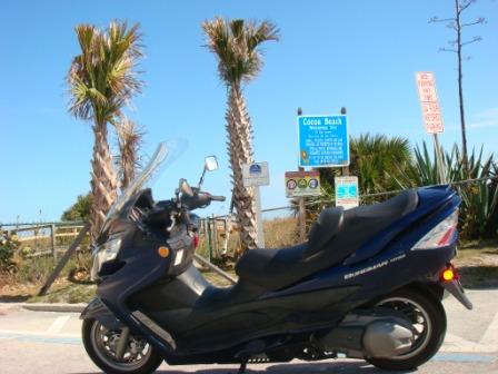
104 MPH |
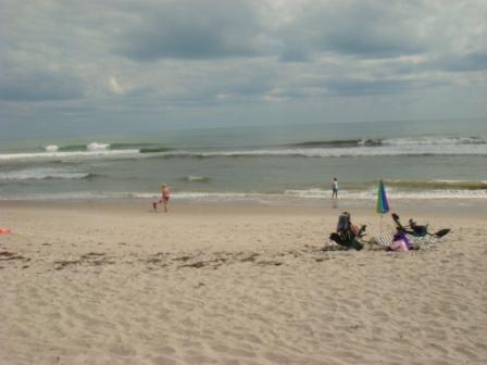
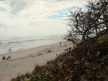
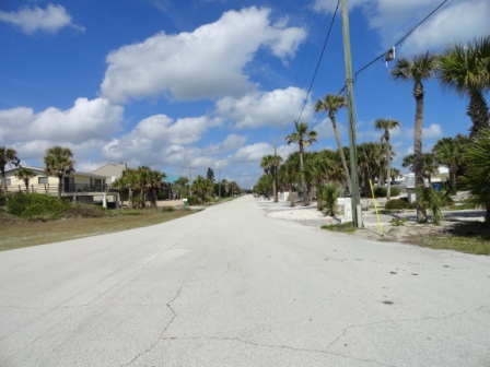
I have made numerous southbound trips. Along A1A, there are many beach parks. The large storage, with room for a small ice chest, on the Burgman has facilitated beach picnics during travels.
 |
 |
 |
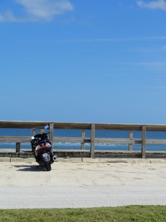
Burgman at Cocoa Beach |
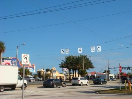
Entering Cocoa Beach from route 520 |
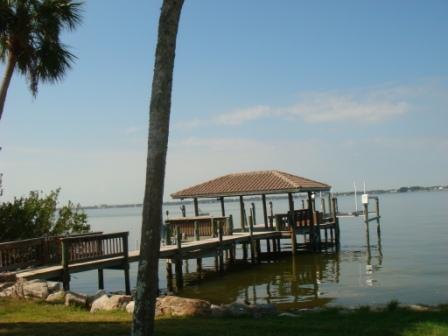
Indian River Merritt Island |
 |
 |
 |
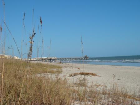
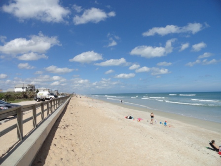
Facing Cocoa Beach Pier |
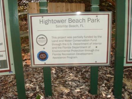
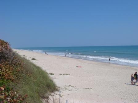
Hightower Beach Park Satellite Beach |
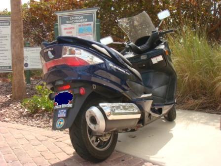
Burgman at Hightower Beach |
 |
 |
 |
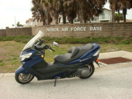
Burgman at Patrick AFB |
Hightower Beach |
Hightower Beach |
 |
 |
 |
Cruising A1A at Indian Harbor |
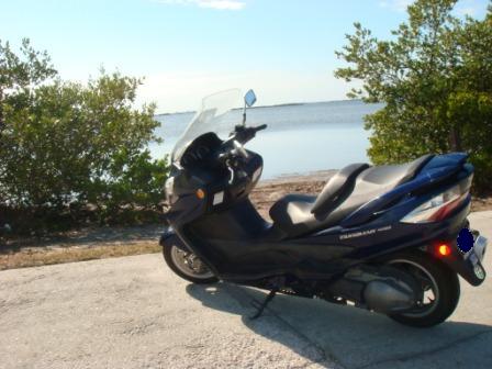
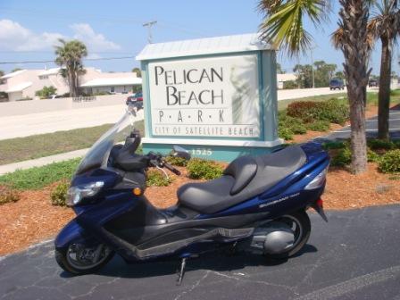
Burgman at Pelican Beach |
Pelican Beach |
 |
 |
 |
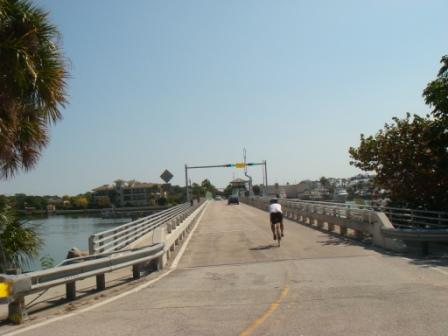
Scenes from Route 3 Merritt Island |
Merritt Island route 3 Bridge |
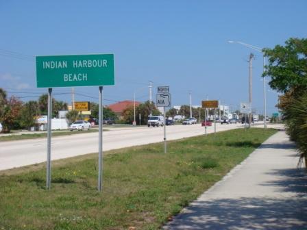
Indian Harbor Beach |
 |
 |
 |
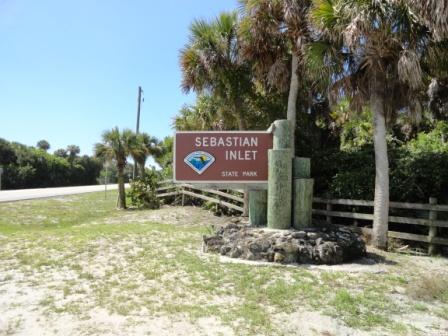
Sabastian Inlet Sign |
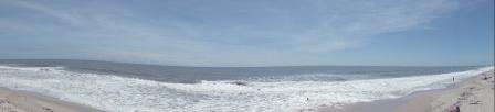
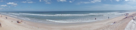
Coconut Beach Panoramic |
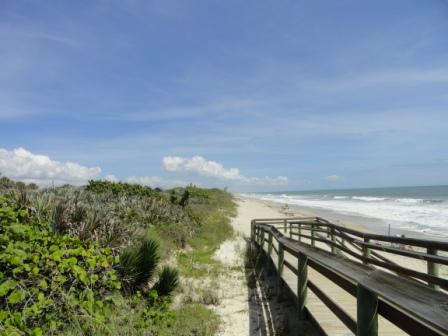
Coconut Beach |
 |
 |
 |
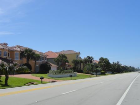
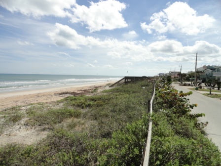
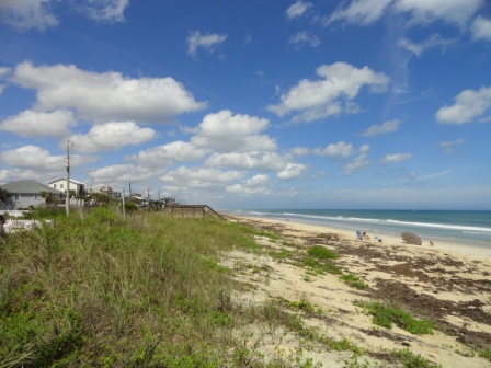
A1A Melbourne Shores Homes |
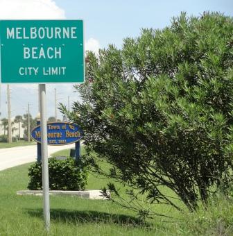
Melbourne Beach Sign |
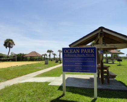
Melbourne Beach Ocean Park |
 |
 |
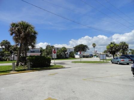
A1A turn at Melbourne Beach |
A1A SOUTH MOTORCYCLE RIDE |
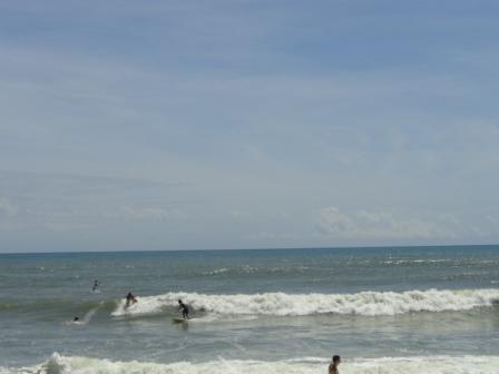
Surfing at Melbourne Beach |
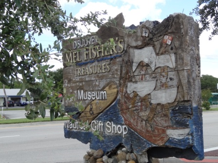
I extended my southbound trip down route A1A to Sebastian Florida. There really isn't anything in Sebastian that interested me other than Mel Fisher's Treasure Museum. It was the ride down A1A that motivated me. First, I was introduced to Mel Fisher and Stan Waterman with I was a diver and belonged to the Atlantis Rangers Dive Club. The Atlantis Rangers met at the University of Maryland College Park campus. I saw Mel Fisher at his museum in Key west in 1984. Keep in mind that I am a NAUI rescue certified diver. Dream 28
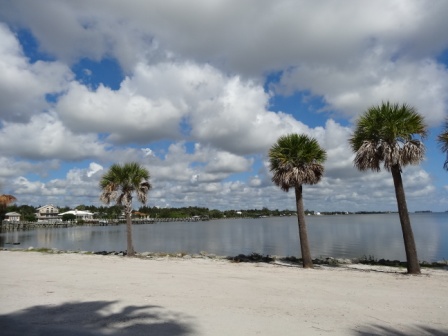
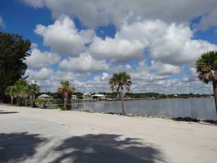
I had ridden down A1A as far as the Sebastian Inlet. Down in that area, there is very little commercial development. There are a few condos, exclusive private homes and a couple of golf courses. You can see water on both sides of A1A. Heading south, the Indian river is on the right and the Atlantic Ocean is on the left. Baby Burgman was purring along at 4500 RPM which is half engine speed saying, I have more , you know. It was like I was in Florida. I had to cross over the Indian River on the Wabasso Beach Road Bridge. It was beautiful with boats at anchor on both sides.
The Wabasso Beach Road Bridge is about 5 miles south on my destination, Mel Fisher's Museum. Route 1 follows the Indian River very closely. The museum is a lot smaller than the one in Key West but there were a lot of treasures from the Atocha.
On July 24th, 1715, a fleet of eleven Spanish Galleons and one French ship, set sail from Havana Spain. All of the Spanish vessels perished in a storm off the east coast of Florida, near present day Sebastian. Seven hundred lives and over 14,000,000 pesos of treasure went down.
Another ship, the Atocha, met a similar fate in 1622. On Juy 20th, 1985, following a 16 year search. a slavage team led by Mel Fisher recovered the mother lode of the Atocha, from it's nearly 370 year exile on the ocean floor...establishing the greatest doscovery in treasure salvaging history, both in archeological and commercial terms. During the search for the Atocha, Fisher and his crew also discovered and raised treasure from the sister ship of the Atocha, the Santa Margarita and an English merchnt slave ship, the Henrieatta Marie, as well as the 1715 Plate Fleet near Sebastian.
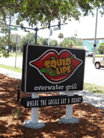
After I left, the museum, I wanted to maintain the motorcycle along the water ambience. I drove up Route 1 to Melbourne and stopped at Squid Lips for fish and chips. I selected outdoor seating under a fan. It was cool and refreshing. I crossed the Eau Galle Bridge to get to A1A. Although, it was 91ºF, the cool breeze from the ocean was chilling at times.
 |
||
| A1A to Sebastian Florida |
||
 |
 |
|
Wabasso Causeway Park |
Wabasso Beach Road Bridge |
Wabasso Causeway Park |
 |
 |
 |
Mel Fisher Sign |
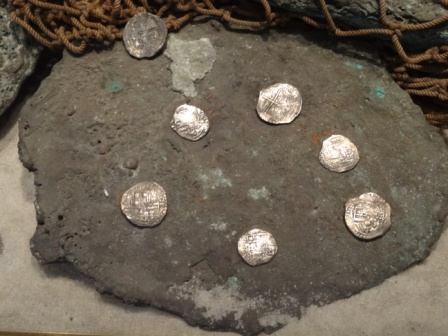
Atocha Silver Coins |
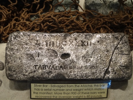
Atocha Silver Bars |
 |
 |
 |
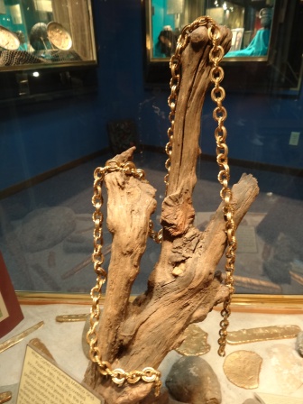
Atocha 8 Foot Gold Chain |
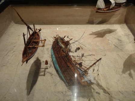
Scale Model of A Shipwreck |
Photograph of Mel Fisher |
 |
 |
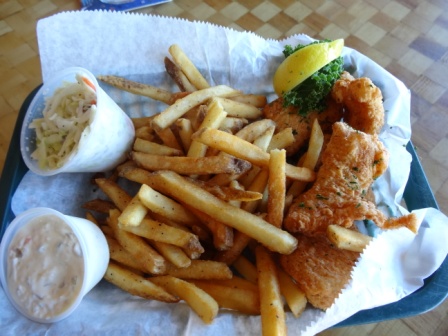 |
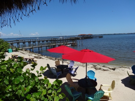
View from Squid Lips |
Squid Lips Sign |
Squid Lips Fish & Chips |
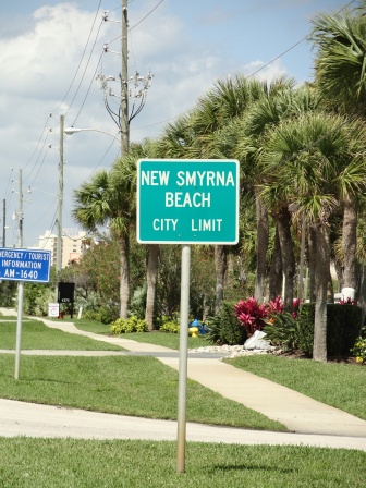
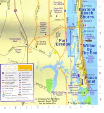
There is another 10 mile break between A1A New Smyrna Beach and A1A Daytona Beach Shores. I rejoined Route 1 for 10 miles. A1A does not cross inlet between Smyrna Dunes Park and Lighthouse Point Park. I had to drive about 35 miles on Route 1 to reconnect to A1A. There is a break on A1A as it does not go through the Kennedy Space Center and the National Wildlife Refuge on Merritt Island. I rejoined A1A in New Smyrna Beach and headed south until it ended. This piece of A1A is about 10 miles long.
 |
||
| New Smyrna Beach Map |
||
 |
 |
 |
Facing Cocoa Beach Pier |
New Smyrna Beach Sign |
End of A1A |
 |
 |
 |
A1A into New Smyrna Beach |
New Smyrna Beach A1A |
New Smyrna Beach |
 |
 |
 |
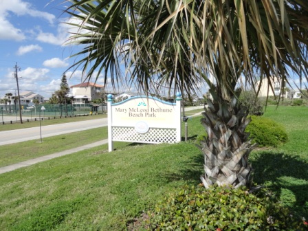
Bethune Beach Sign |
Parked at Bethune Beach |
Bethune Beach Boardwalk |
 |
| Bethune Beach Panorama |
 |
 |
 |
Flager Avenue |
Flager Avenue 2 |
Treats on the Beach |
There is another 10 mile break between A1A New Smyrna Beach and A1A Daytona Beach Shores. I rejoined Route 1 for 10 miles. A1A does not cross inlet between Smyrna Dunes Park and Lighthouse Point Park.
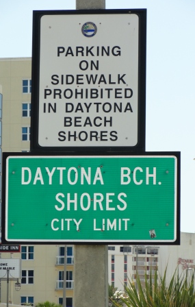
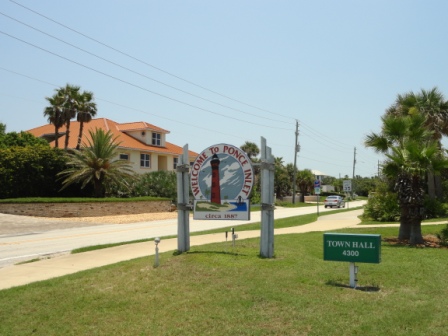
With a population of almost a half million, Daytona Beach is well developed with hotels, condos, museums and beach front amusement parks. With hard packed sand, motor vehicles are allowed to drive on the beach in restricted areas. I took the 10 mile drive south on A1A toward Ponce Inlet. I wasn't there for any of the races or bike week. I had a crab cake at Eat at Joes. Although the crab cake was 100% blue crab, it was not lump meat as found on the Chesapeake Bay.
 |
 |
|
Daytona Beach Map |
Daytona Beach Shores Map |
|
 |
 |
 |
Daytona Beach Shores Sign |
Burgman at Daytona Beach |
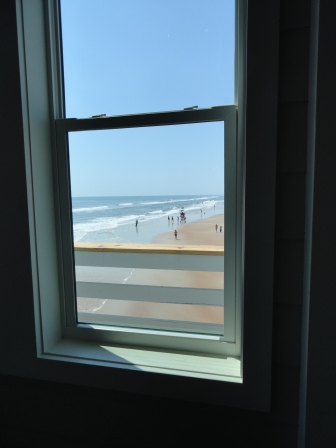
View from Eat at Joe's |
 |
 |
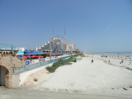 |
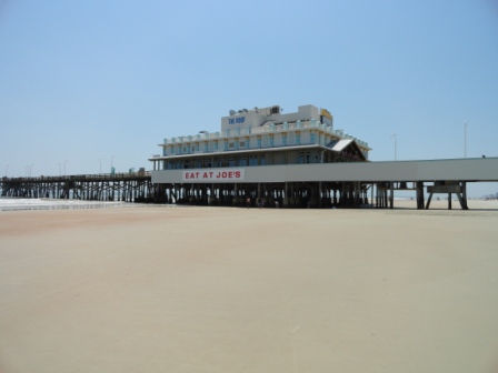
Daytona Beach Pier |
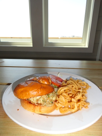
Eat at Joe's Crabcake |
Daytona Beach Scene |
 |
 |
 |
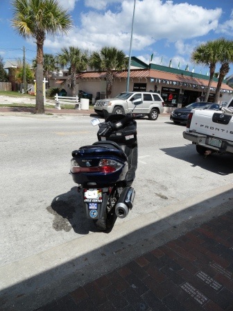
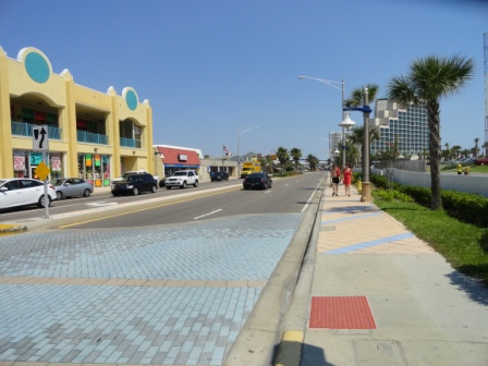
Atlantic Avenue |
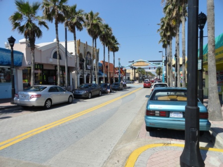
Main Street |
A1A Street Sign |
 |
 |
 |
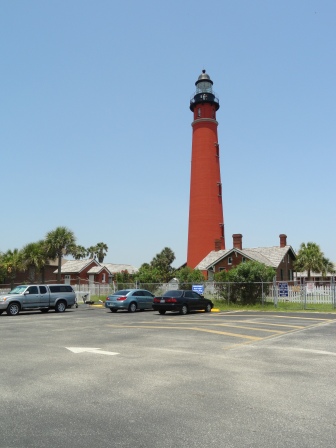
Ponce Inlet |
Ponce Inlet Lighthouse |
Burgman at Ponce Inlet |
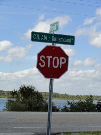
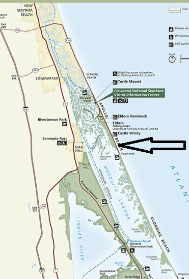
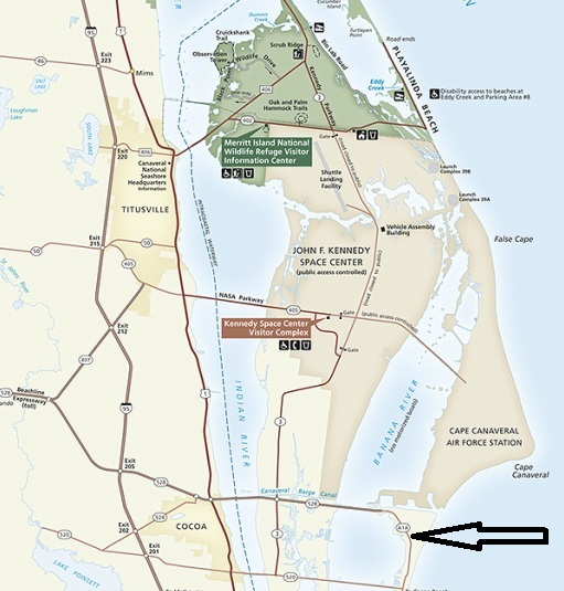
There is gap on route A1A on Merritt Island. At the south end of Merritt Island, Route ends at Port Canaveral. At the north end A1A ends on Turtle Mound Road south of Bethune Beach in Volusia County. Between the two is Playa Linda Beach in the Merritt Island National Wildlife Refuge. Merritt Island
Canaveral National Seashore includes both Apollo Beach and Playa Linda Beach. Canaveral National Seashore
 |
 |
 |
A1A North Boundary on Merritt Island |
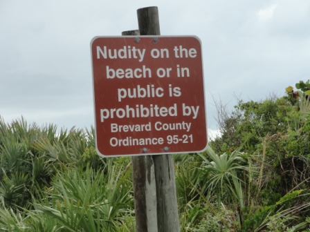
County Ordinance 95-21 |
A1A South Boundary on Merritt Island |
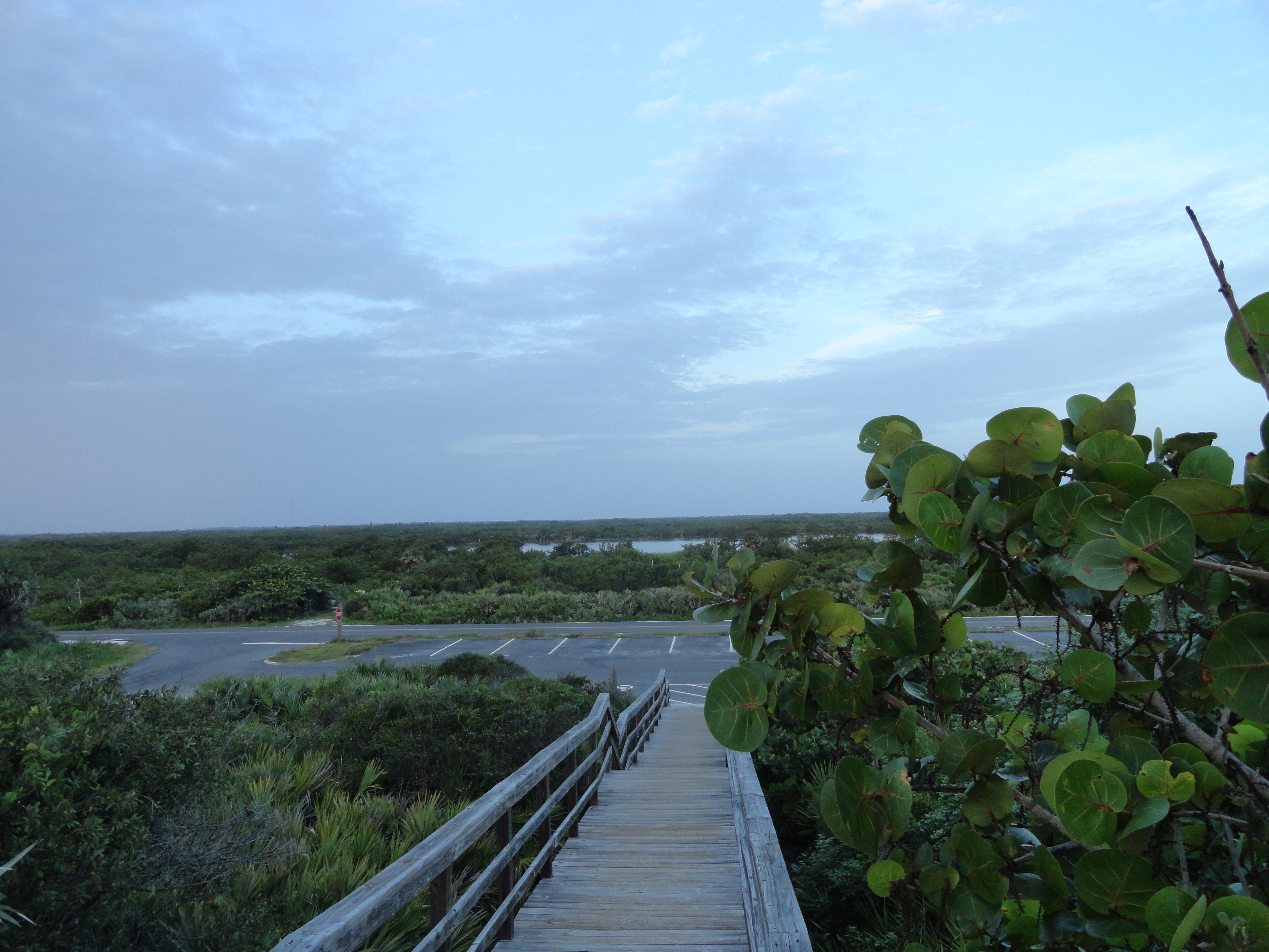
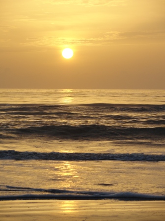
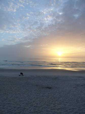
There is a two lane road from Route 402 to the end of the beach road. Take the ride just before sunrise to see the colors, smell the salt air and hear the ocean. Each beach has a parking and a flushing chemical toilets in a building. The beaches very clean and there are few crowds. This is a Federal Park and there are many restrictions. There is a fee to enter the beaches. Canaveral National Seashore FAQ Contrary to popular belief, there are no nude beaches.
 |
 |
 |
Welcome to Merritt Island Wildlife Refuge |
Playa Linda Parking lot 3 |
Burgmam with Beach Chair at Playa Linda |
 |
 |
|
Beach Movie |
Sunrise |
My Setup at Playa Linda |
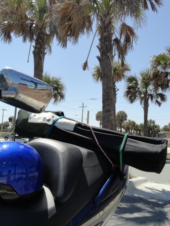
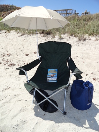
The Burgman has a 2 square foot trunk. Since A1A runs along the Atlantic Ocean, I decided to stop at one of the beaches. I packed ice, drink, meal in the trunk and strapped a beach chair with umbrella with bungee cords to the Burgman; I headed toward the Ocean. Don't forget a beach towel, suntan and flipflops.
 |
 |
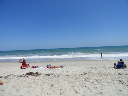 |
| Beach chair strapped to Burgman | Beach chair setup | View from my setup |
Return to Retirement Page